Rest & Be Thankful
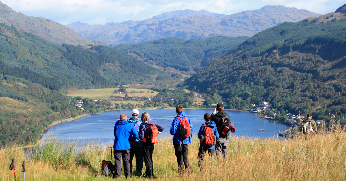
Rest & Be Thankful is a famous viewpoint where Glen Kinglas meets Glen Croe in Argyll, Scotland.
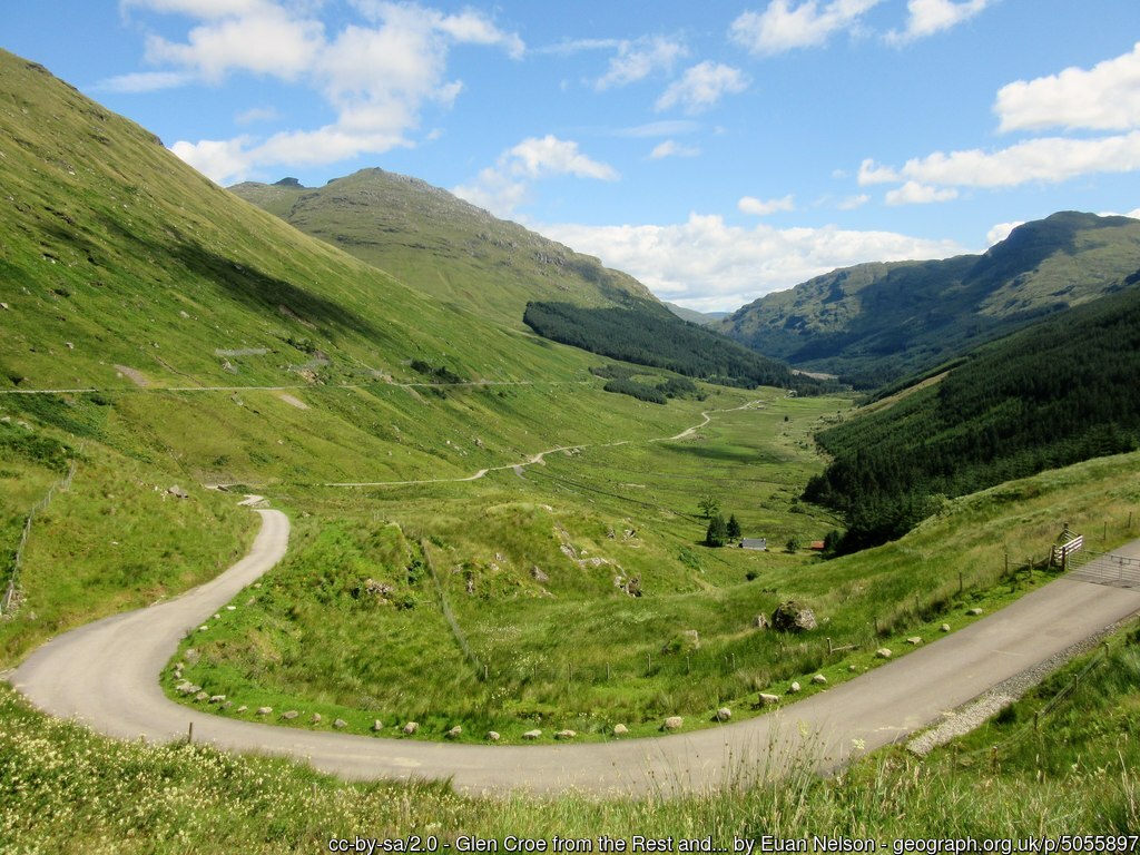
The Rest, as it is sometimes known, is a mountain pass 803ft above sea level, and is the high point on the route between Loch Long and Loch Fyne, an important link to Scotland’s west coast.
The climb through Glen Croe from Loch Long was so arduous it was traditional for the drovers who used the track to stop and rest here, being thankful for having made it safely to the highest point.
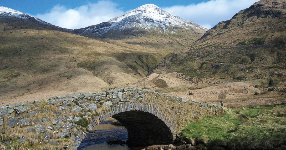
In response to the Jacobite uprisings in the first half of the 18th century, a network of military roads was proposed by General George Wade and his successor, Major William Caulfeild, was responsible for the construction in 1747-49 of the original road here.
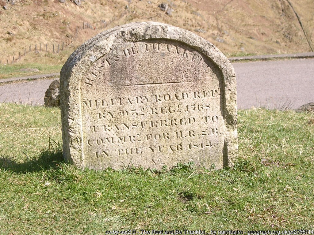
450 soldiers and civilians worked on the building of the road, and a stone was set into a turf seat at the high point, thought to have been inscribed Rest, and Be Thankful / This road was made, in 1748, by the / 24the regiment / Lord Ancram, Colonel / Duroure, Major / Repaired by the 93rd Regiment, 1768 .
This was later replaced by the current marker, which says: REST & BE THANKFUL / MILITARY ROAD REPD / BY 93RD REGT 1768 / TRANSFERRED TO / COMMRS FOR H.R.& B / IN THE YEAR 1814
The name ‘Rest and Be Thankful’ appeared in literature – in 1773 Dr Samuel Johnson passed through on his travels with James Boswell, and in 1803 the poet William Wordsworth visited with his sister Dorothy, later writing in the sonnet ‘Rest And Be Thankful! – At The Head Of Glencroe’: Doubling and doubling with laborious walk, Who, that has gained at length the wished-for height, This brief simple way side call can slight, And rests not thankful?
The military road (also called the Drover’s road), fell into disrepair, and a new road through the Rest was built 1937-1941, running to the east of the old road. 4,000 cars a day now use the road, and it is a vital link between the central belt of Scotland and the west coast – if the road is closed the detour to Inverary is 59 miles via Crianlarich. There are sometimes landslides, when debris can affect the route and it is not always feasible to use the alternative of the old military road.
Visitors can find out the latest information on the road at https://www.bearscot.com/a83-rest-and-be-thankful-2/
and journey information is also available from https://trafficscotland.org/
You may also be interested in …
Munros in Helensburgh & Lomond
Loch Lomond & Cowal Way
Corbetts in Helensburgh & Lomond