West Highland Way
The West Highland Way runs 96 miles (154 km) from Milngavie on the outskirts of Glasgow in the south, to Fort William in the north.
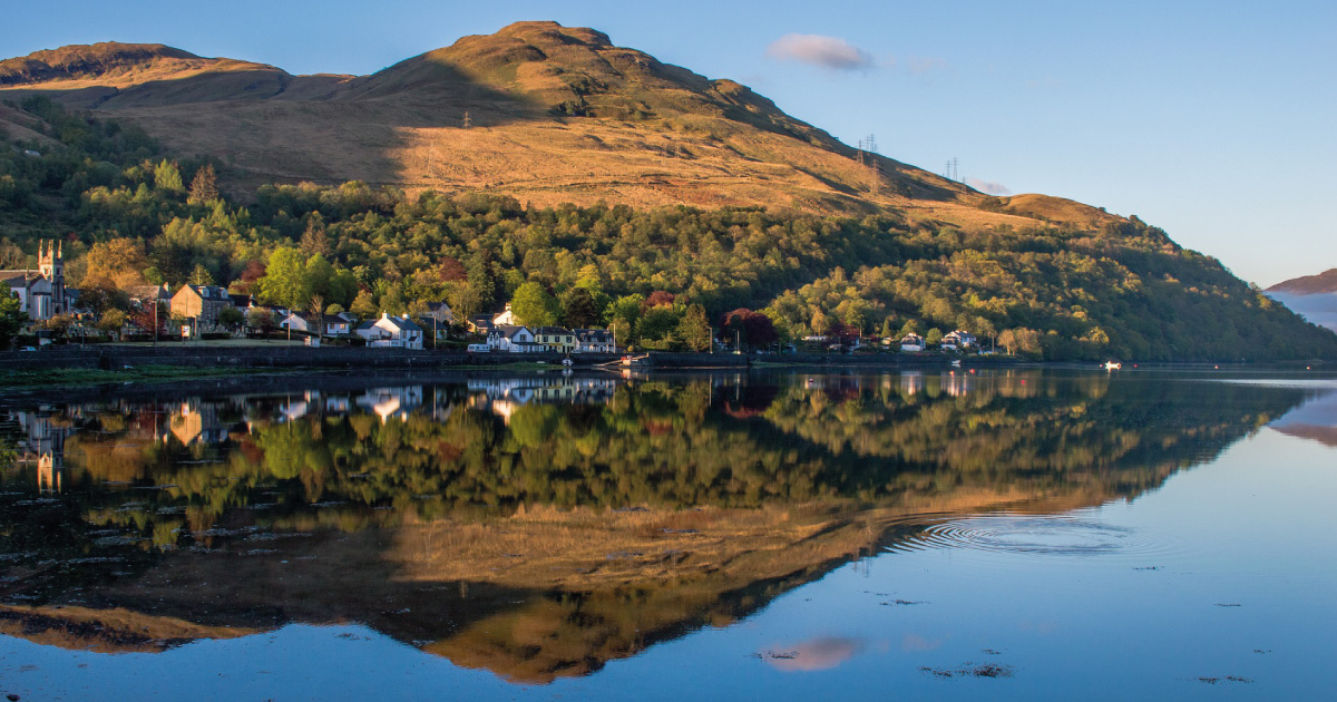
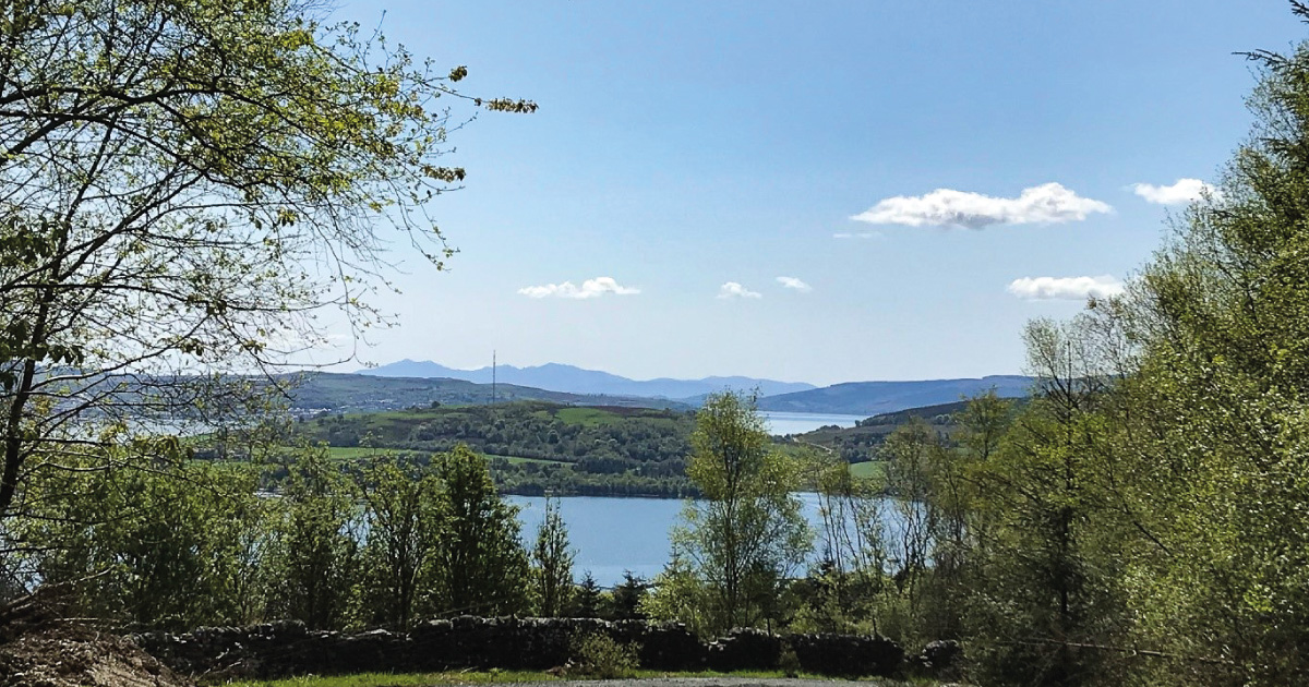
It was officially opened on 6 October 1980, and celebrated its 40th Anniversary in 2020. The section from Rowardennan to Inverarnan passes through Helensburgh and Lomond District.
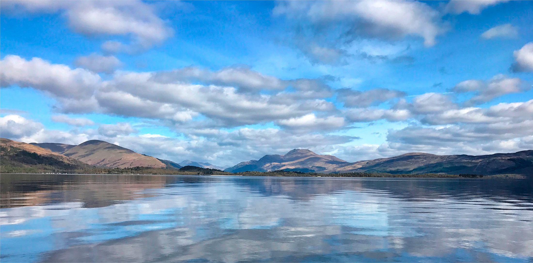
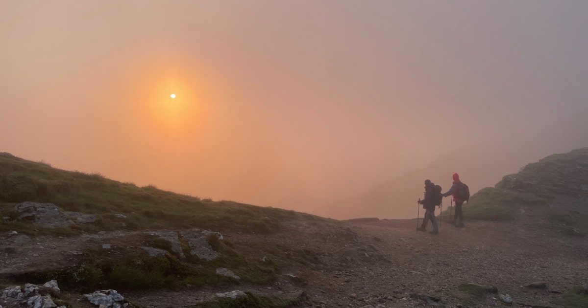
The Way starts at the edge of the urban sprawl of the central belt (you can even link up with the Kelvin Walkway which runs to the Riverside Museum in Glasgow). It traverses across the rolling hills of the Campsies and gets progressively more challenging as it heads up Loch Lomondside and into the Highlands, crossing Rannoch Moor and passing Buachaille Etive Mor, one of Scotland’s most famous Munros, and Britain’s highest mountain Ben Nevis, before the descent into Fort William.
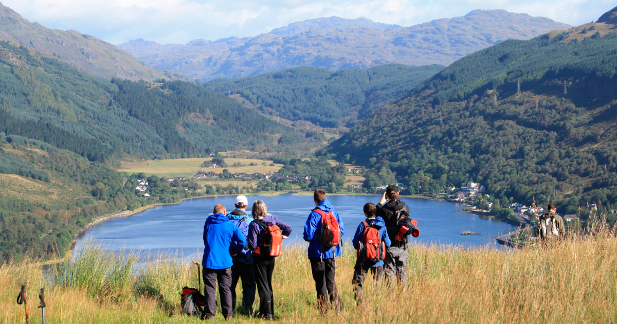
Travellers can get the ferry across Loch Lomond from Inversnaid to Inveruglas and Tarbet to join up with both the Three Lochs Way and the Lomond and Cowal Way, which are also two of Scotland’s Great Trails.
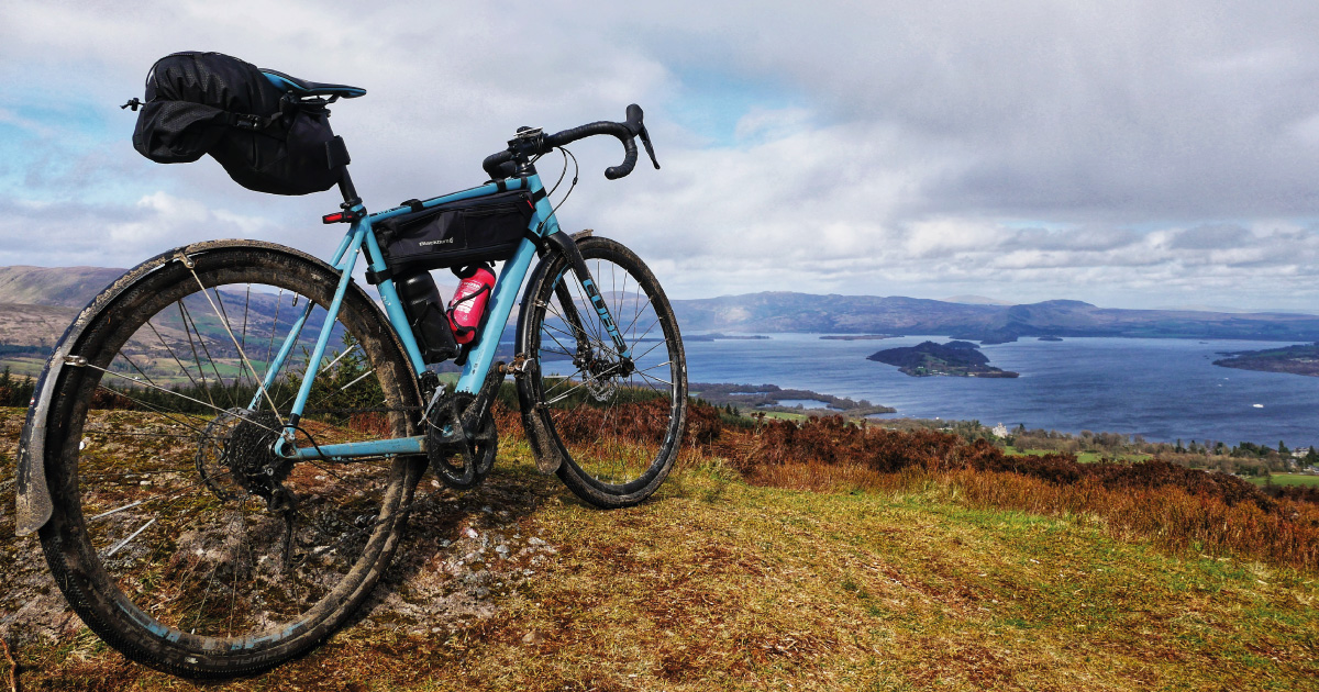
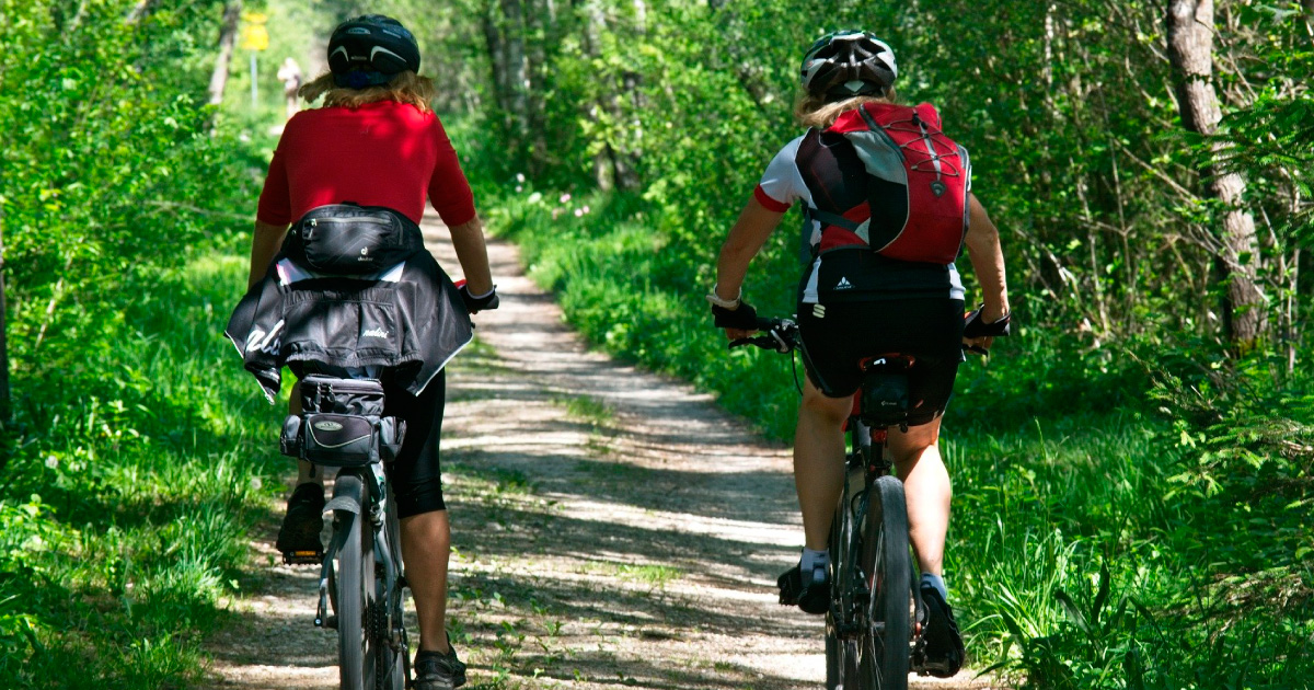
It is possible to mountain bike the Way, although it was primarily designed as a walking route. Full details of the route are available at the West Highland Way website.
You may also be interested in …
JMW Helensburgh to Balloch Cycle Loop
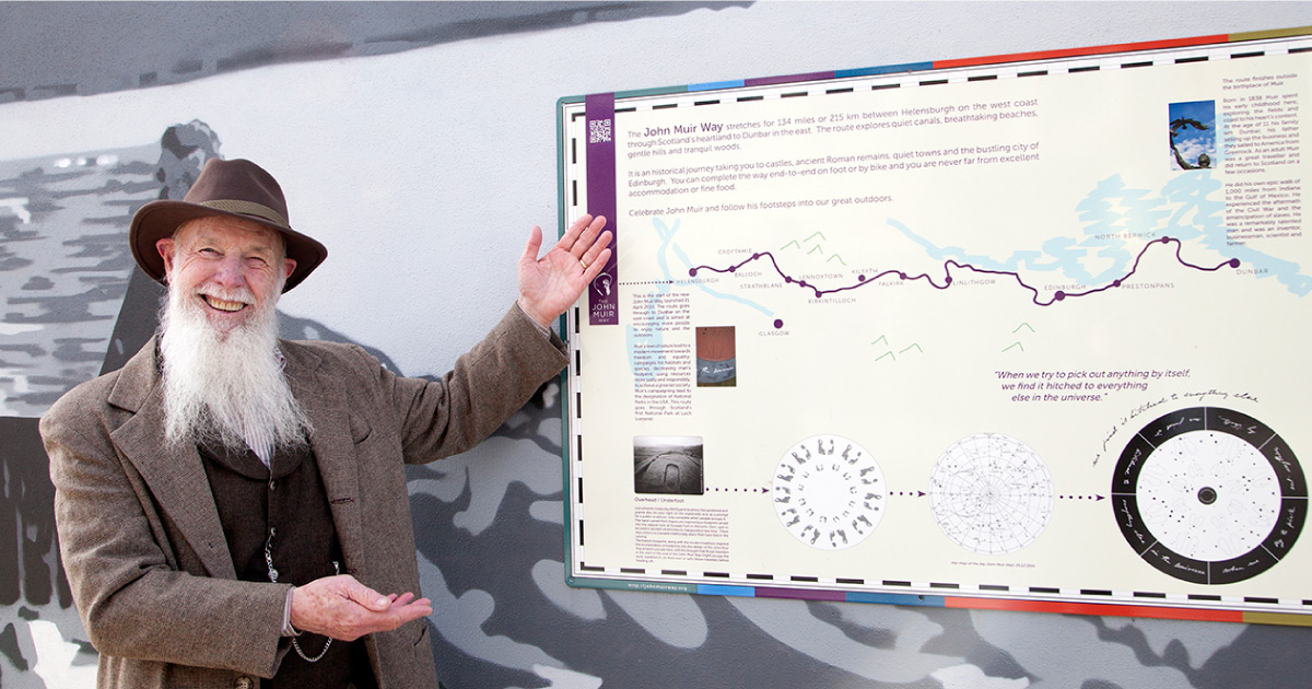
John Muir Way
Loch Lomond & Cowal Way
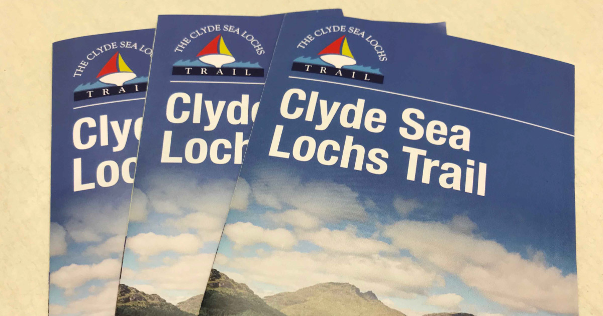
The Clyde Sea Lochs Trail

Argyll Sea Kayak Trail
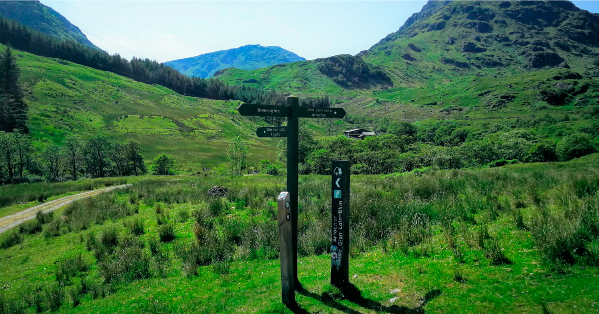
Three Lochs Way

JMW Ben Bowie Loop
JMW Highlandman’s Hike
Argyll Walks
Discover Helensburgh App
Cycling in Helensburgh & Lomond