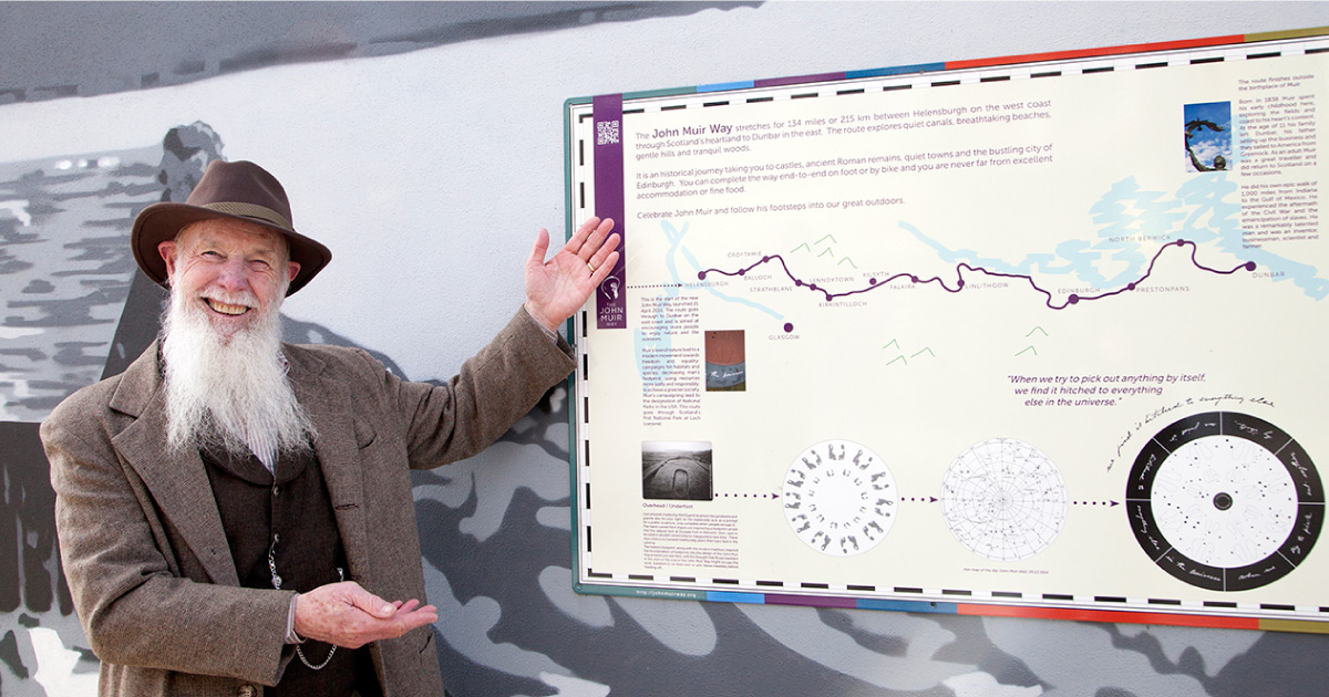
Highlandman’s Road
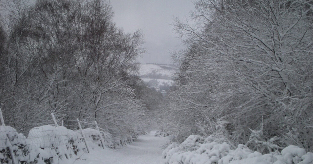
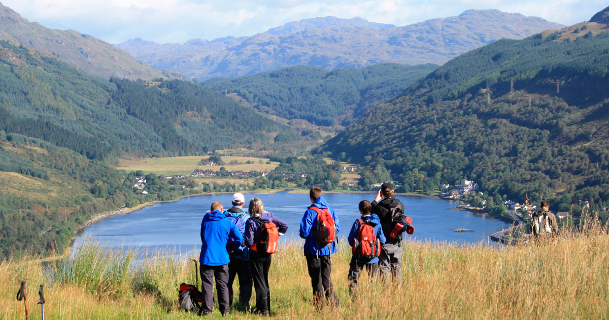
Highlandman’s Road is a popular walking route, and a core path, between Helensburgh and Rhu, and forms part of the Three Lochs Way.
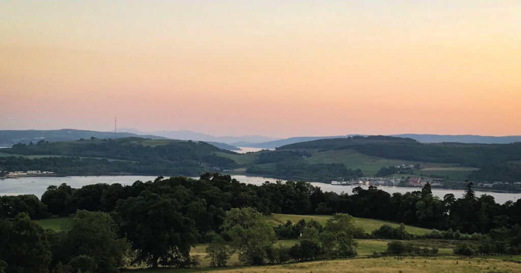
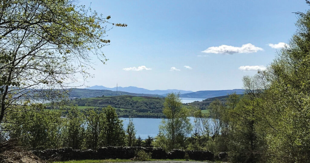
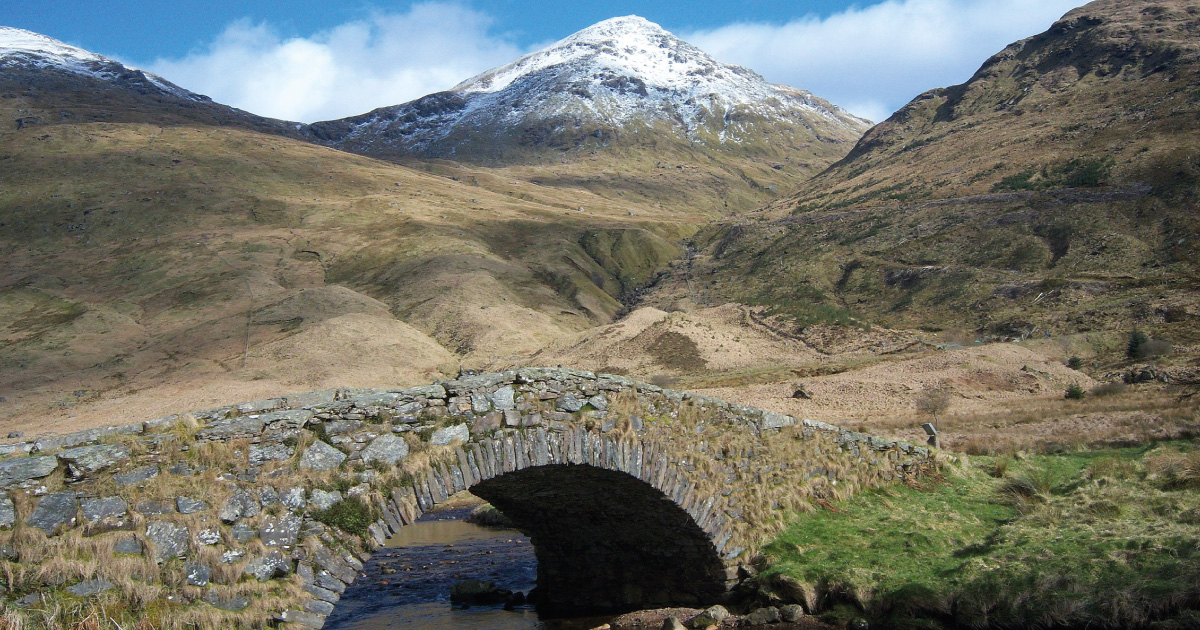
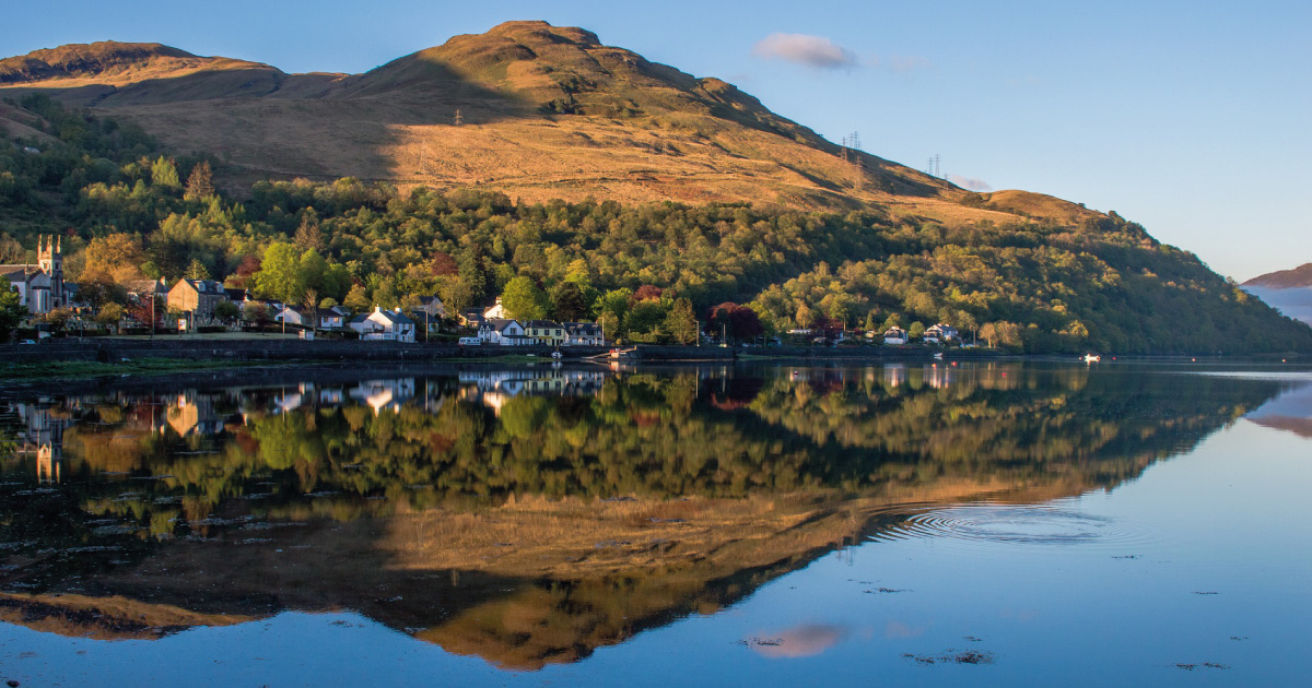
The track is an old drove road and follows the best natural route over the lower slopes of Tom na h-Airidh between the Gare Loch and Glen Fruin. Popular with walkers and cyclists it affords panoramic views over the Clyde Sea Lochs and Rosneath Peninsula towards Arran and the Firth of Clyde.
William Maughan described the route of Highlandman’s Road starting from Rhu in his 1897 Annals of Garelochside as leading ‘directly from the church, past the front of the manse, in a line which can be still faintly traced, with old trees on either side, and took a somewhat steeper line than at present through the Laggarie grounds…’. Today the route through the village is not so easy to trace until one reaches Station Road, which runs up the hill past Torr Farm onto the best preserved section. Forestry plantation, Highlandman’s Wood, has encroached on the road at the east end of the well-made metalled track where the original route turns up the hill as a rough path. These days most walkers take advantage of the Helensburgh and District Access Trust path and turn down the hill past the cup and ring marked rock beside the Glennan Burn to join the lower Hill House – Ardencaple Wood path at the junction with the Three Lochs Way. Turning uphill the Three Lochs Way joins the original route of Highlandman’s Road at the top edge of the forestry plantation and continues on to Glen Fruin.
Battrums’s 1864 Guide to Helensburgh describes the path as a cart track and it also recorded that it had been refurbished by the Ann, Dowager Duchess of Argyll (died 1847) in the earlier 19th century. That it needed refurbishment in the 19th century indicates that it was already an old track by the early 1800s.
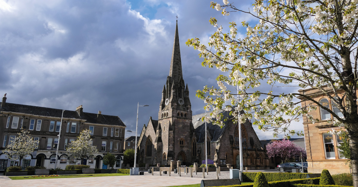
Highlandman’s Road is a local drove road rather than one of the major routes, but it is also a Church or Coffin Road that linked Kilbride (St. Bride’s Chapel) in Glen Fruin to the parish church at Rhu in the 17th century. Kilbride Chapel in Glen Fruin is an early Christian site but the chapel was out of use by the 17th century and residents of the Glen walked over to church at Rhu. Rhu Parish Church was established in 1646. The present church is the third church on the stie and dates to 1854. The road is also a coffin road as the inhabitants of Glen Fruin had to carry their dead over the hill to bury them in the consecrated ground at Rhu Church.
Cattle and horses were swum across the Gareloch at its narrowest point between Rosneath and Rhu Spit / Rhu Ferry. This is the most southerly drove route in Argyll and the main southern route was generally Mark to Portincaple and then via Whistlefield to Strone in Glen Fruin. It was normal practice for drovers to swim the beasts across narrow crossings and ferries were also used to transport the animals, including at Rhu. The black kyloe cattle, the economic mainstay of the Highlands in the Medieval period, were gathered from across the western Highlands and driven south to the big cattle fairs at Perth and Dumbarton. There was also a horse fair at Drumfad, Glen Fruin from at least the early 1700s. The animals travelling along Highlandman’s Road would converge with the cattle and horses travelling on the Strone route and with beasts travelling from the east side of Loch Lomond to all meet at the Dumbarton Tryst. The Dumbarton Tryst was held on Carman Hill above Renton in the early 19th century and attracted about 8,000 cattle every year.
You may also be interested in …
Munros in Helensburgh & Lomond

JMW Highlandman’s Hike
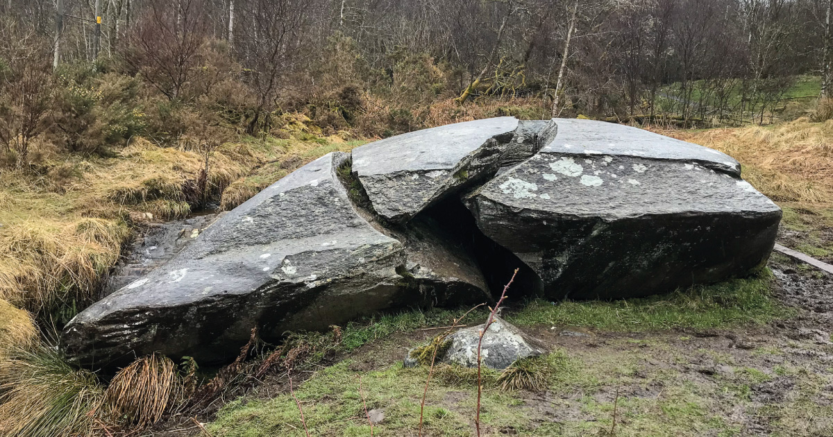
Drumfad Cup & Ring Marked Rock

Helensburgh & District Access Trust
West Highland Way

Highlandman’s Road
Argyll Walks
Three Lochs Way
Discover Helensburgh App
The Hidden Heritage Trail

JMW Ben Bowie Loop